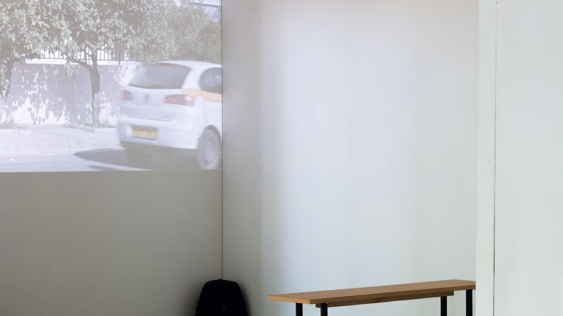
Deviation of the Vertical
HD video, 8:50 mins, 2016
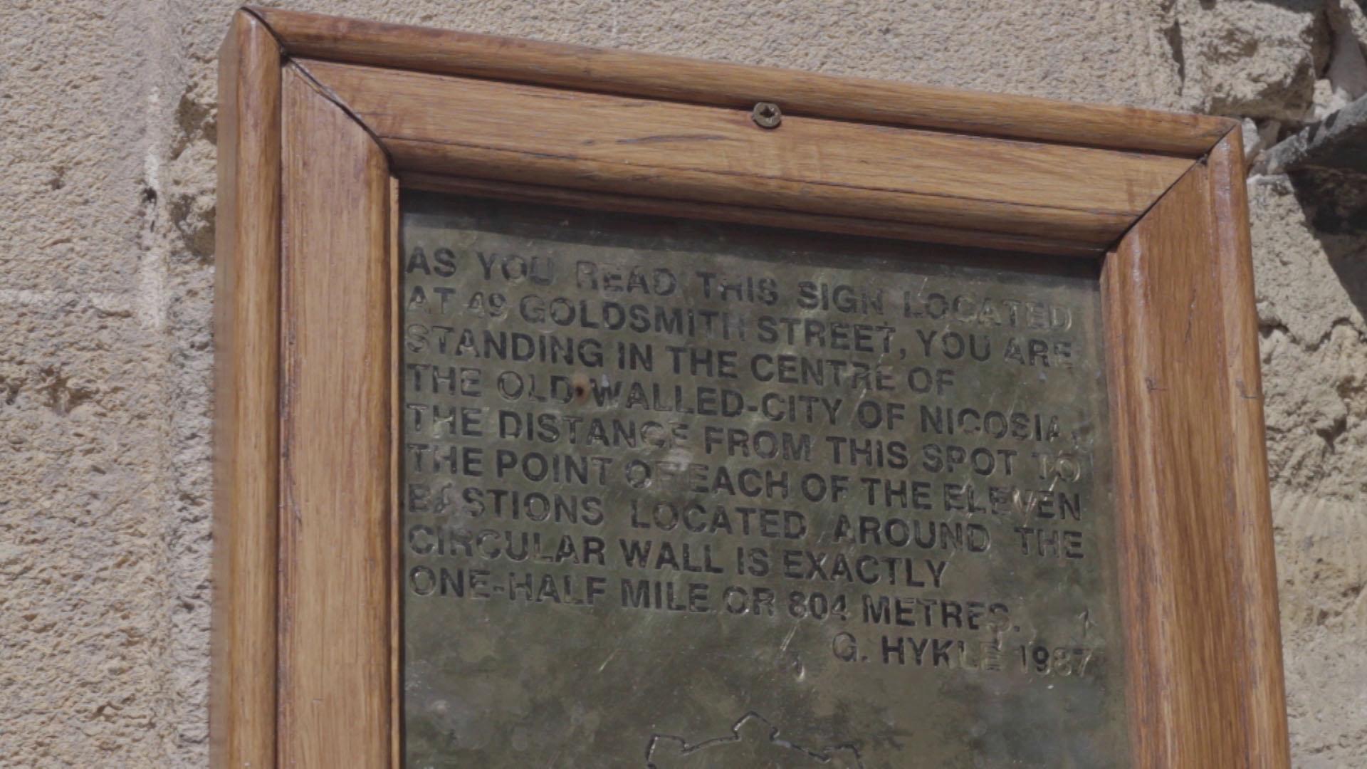
Deviation of the Vertical is based on a mistake made by Horatio Kitchener in his mapping of Cyprus at the start of British colonial rule between 1878 and 1883. Kitchener’s coordinates of Cyprus were wrong by almost one nautical mile, which was not discovered nor revised in local maps until the 1930s. No records exist as to how Kitchener calculated his coordinates, but it is assumed that he made his mistake due to vertical deflection, or anomalies in gravity caused by the mountainous Cypriot landscape.
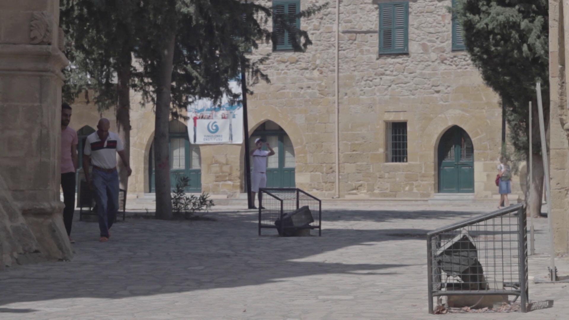
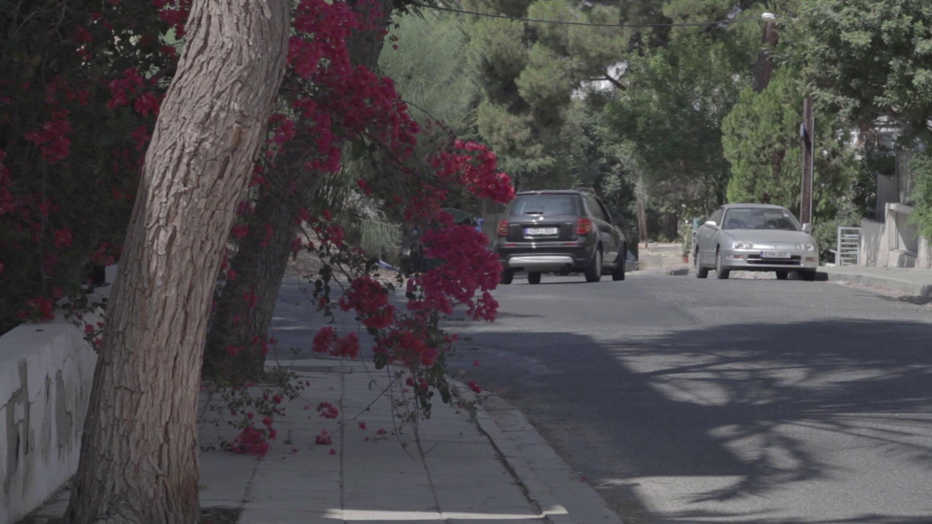
The video uses still, observational shots, jumping between the center of the circular walled city of Nicosia, now in the north, and the co-ordinates of that center according to Kitchener’s survey: a housing area in Lykavittos. In this non-center, cafes and marketplaces and replaced by housing and waste ground, Gothic by suburban architecture and tourists by the cars of commuters.